British Columbia, region by region
A little closer to the place we call home.
We built a guide to the province we call home: 79 places across six regions, from the Pacific coast to the Rockies. The invitation is simple: find somewhere you want to go.
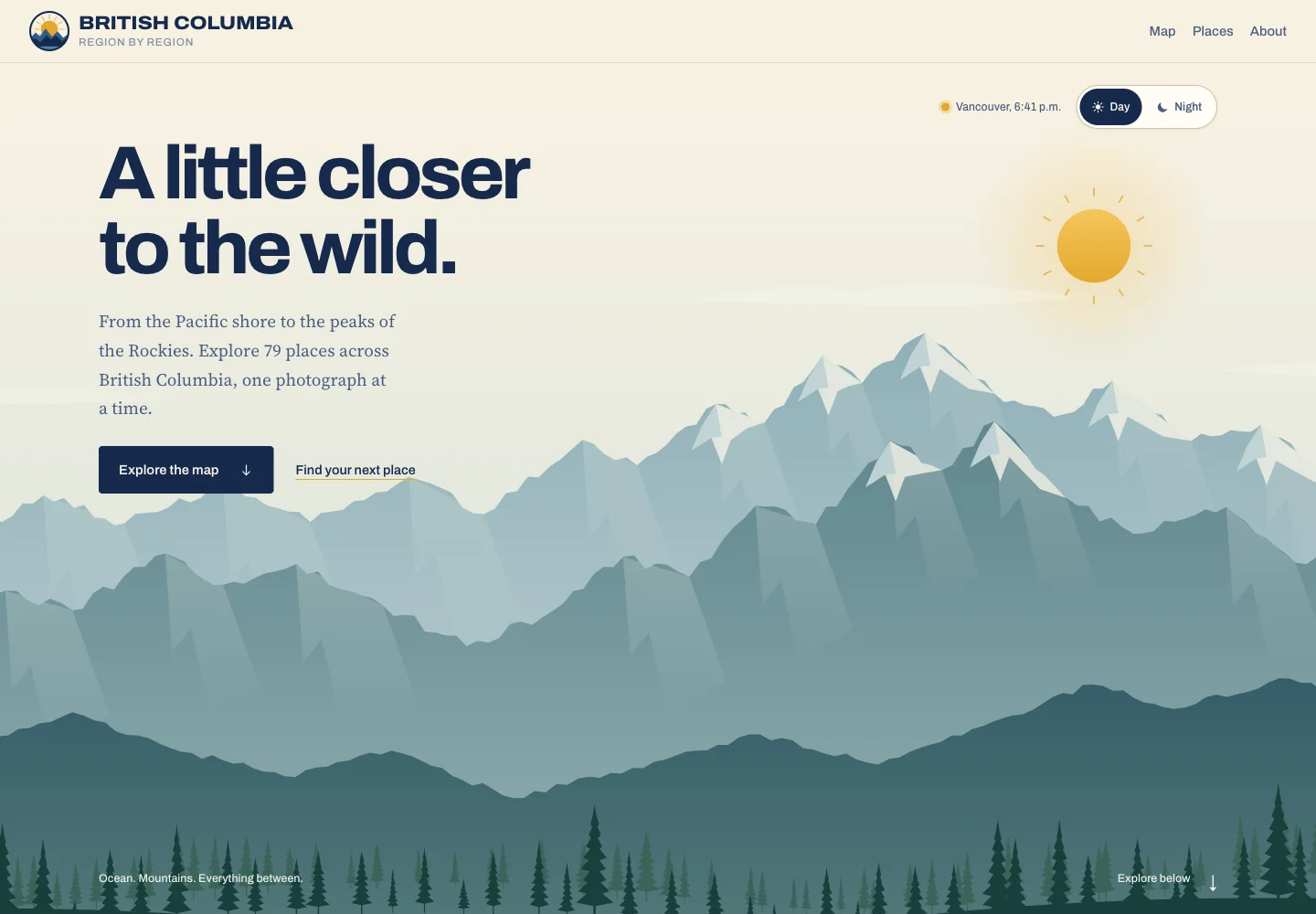
The brief
Make a province-sized collection feel approachable, with a place to start and room to explore.
Our part
Original landscape illustration, responsive website, region navigation and interactive mapping.
A landscape you can feel
The opening scene is an original SVG illustration. Mountain ridges, trees and the sun move at different depths in response to the pointer. Day and night share the same composition, and reduced-motion and touch settings keep the landscape still.
The map
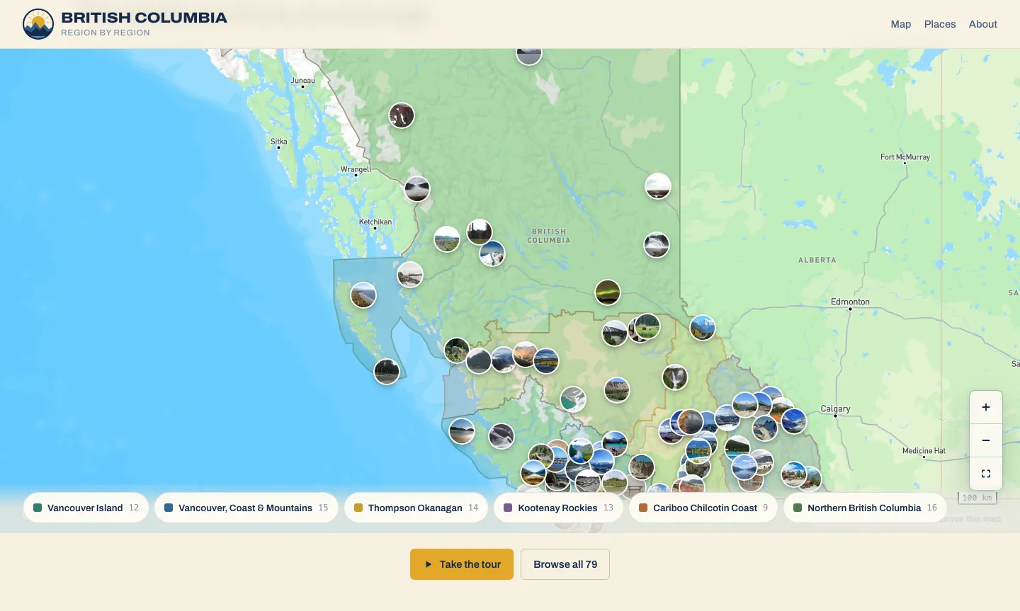
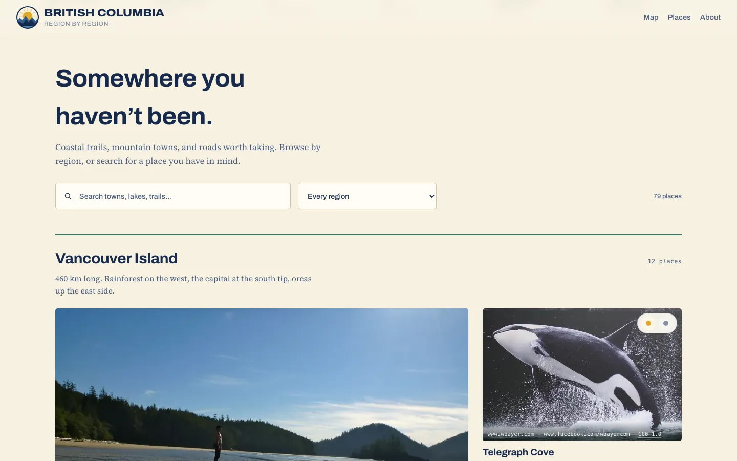
A map with places behind the pins
The map connects real coordinates to photographs and short descriptions. Visitors can browse by region, search by place and move from a photograph to its location. The place list remains usable when JavaScript is unavailable.
Keep the journey light
The illustrated hero needs no animation framework. The interactive map loads as it approaches the viewport, and photographs load near where they are needed. The animation stops when it settles or leaves the screen.
What this project demonstrates
The illustration, geographic data, accessible controls and image loading belong to one experience. This is a working example of how a memorable first impression can sit alongside useful navigation and a small initial download.
Screens from the live site, captured September 30, 2026. Photographs and geographic data are credited on the project site.
The live guide contains 79 places across six tourism regions. Screenshots captured September 21, 2026. Photograph and geographic-data sources are credited on the project site.